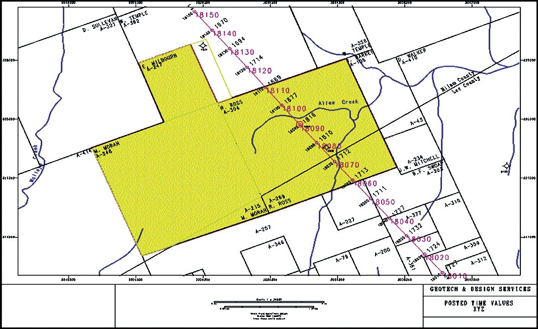
All common GIS formats.
Auto shotpoint increment & interpolation.
Automatic Well, Seismic & Contour Plotting.
Coordinates Transformation as required.
Output Formats
Geoquest Finder, Geoquest IES, GES Landnet CDF, GES Wellbase, Landmark Metafile, Share Files, Landmark Z-map, NDS ASCII, SEG P1, SEG Y, Tobin Base Map, and Ukooa.

MAP DIGITIZING
We meet all industry standards. High quality is assured regardless of stretch or skew in the log document.


